.png)
All of England's 276 Public Traveller Sites Mapped
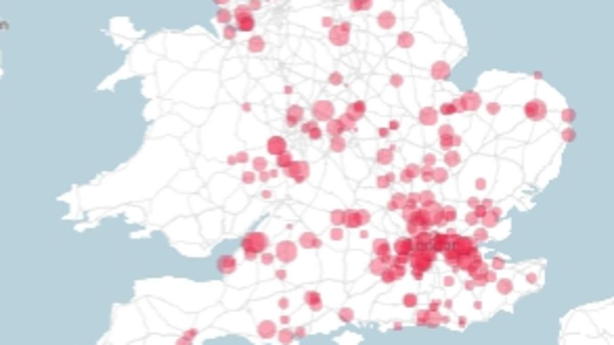
The government has released a comprehensive map detailing all 276 public Traveller sites across England. This initiative aims to provide clarity on the locations available for the Traveller community, which has been a topic of discussion in various localities.
What happened
The mapping of public Traveller sites was announced by the Ministry of Housing, Communities and Local Government. The map is intended to serve as a resource for both the Traveller community and local authorities. Each site is listed with its specific location and facilities available, promoting transparency and accessibility.
Why this is gaining attention
This development comes amid ongoing debates regarding the availability of adequate accommodation for Travellers in England. Local councils have faced scrutiny over their management of Traveller sites, and the new map is seen as a step toward addressing these concerns. The initiative also aligns with recent government efforts to improve relations between local residents and the Traveller community.
What it means
The release of this map may facilitate better planning and resource allocation by local authorities. It could also enhance awareness among the general public about the existing Traveller sites, potentially reducing tensions in areas where conflicts have arisen over unauthorized encampments. This mapping effort underscores the government's commitment to ensuring that the needs of the Traveller community are recognized and addressed.
Key questions
- Q: What is the situation?
A: A map detailing all 276 public Traveller sites in England has been released by the government. - Q: Why is this important now?
A: The mapping addresses ongoing concerns about accommodation for Travellers and aims to improve transparency and relations between communities.


 English (US) ·